|
|
General: EL LIBRO DE DANIEL Y APOCALIPSIS VIVIENDO EL FIN
Elegir otro panel de mensajes |
|
|

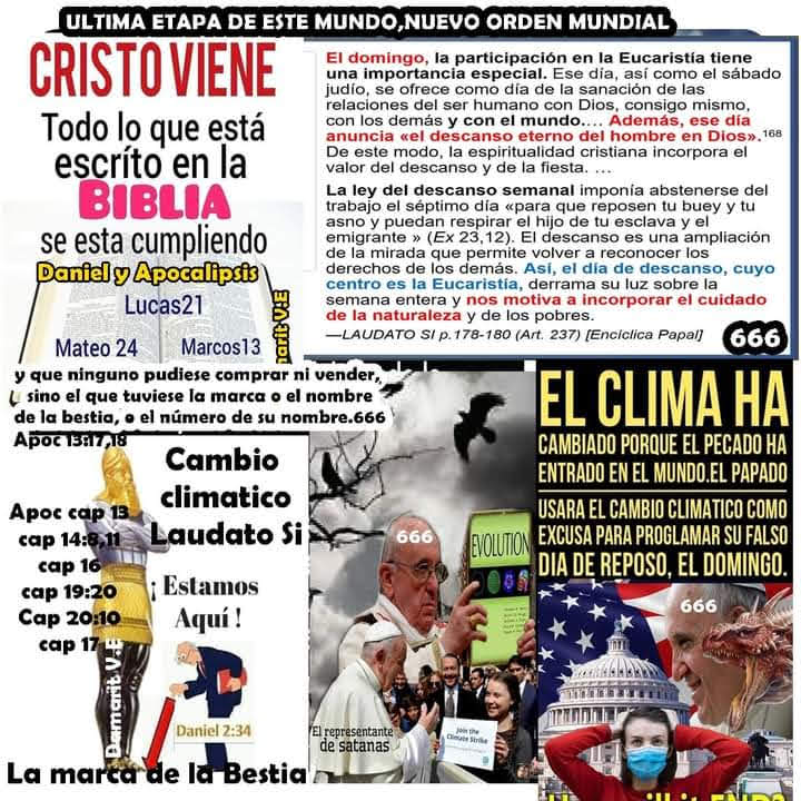
EL LIBRO DE DANIEL Y APOCALIPSIS JUNTOS AHORA EN EL TIEMPO DEL FIN CUMPLIENDOSE EL SELLO DE CRISTO Y LA MARCA DE LA BESTIA LA VENIDA DE SATANAS COMO CRISTO SENTANDOSE EN EL VATICANO CAMINANDO POR EL MUNDO PARA BENDECIR A SUS HIJOS QUE SERAN EXTERMINADOS CON EL FUEGO Y RECIBAN LAS PLAGAS JUNTO CON LOS QUE SE ALIARON A EL PAPADO ALIADOS MUNDIALES Y LA LEY QUE DA EL PAPADO CON DECRETO DE MUERTE O LA CASI EXTERMINACION DEL PUEBLO DE CRISTO CUANDO LAS PLAGAS CAEN AL MUNDO CULPANDO LES POR LAS PLAGAS POR NO OBEDECER EL CATECISMO DOMINGO SU LEY DEL PAPADO SATANAS666 Y EL REGRESO DE CRISTO A RESUCITAR A SUS HIJOS DESDE ADAN HASTA EL ULTIMO MARTIR HECHO POR SATANAS PAPADO Y LOS VIVOS SANTOS RESUCITADOS LLEVARLOS AL CIELO LOS IMPIOS MUEREN AL REGRESO DE CRISTO SATANAS QUEDA SOLO SIN NINGUN ABITANTE EN EL MUNDO POR MIL AÑOS APOC 10:2 .En su mano tenía un librito abierto. Puso el pie derecho sobre el mar y izquierdo sobre la tierra,
3 y gritó con fuerte voz, como ruge el león. Y cuando gritó, siete truenos hicieron oír su fragor.
Apocalipsis (de Juan) 10-> Ver. 2
[V.2-> En su mano. Compárese con el simbolismo de Eze 2:9. Un librito. Gr. biblarídion, “rollito”, diminutivo de biblíon, “libro”, “rollo”. Biblarídion aparece en el NT sólo en este capítulo. Al contrastar este rollito con el rollo (biblíon) que estaba en la mano de Dios (Ap 5:1), es evidentemente más pequeño. Compárese con el simbolismo de Eze 2:9. Abierto. El verbo griego manifiesta que el libro ha sido abierto y permanece abierto; pero el rollo anterior estaba sellado con siete sellos (Ap 5:1). Daniel recibió la orden: “cierra las palabras y sella el libro hasta el tiempo del fin” (Ap 12:4). Esta admonición se aplica particularmente a la parte de las profecías de Daniel que se refieren a los últimos días (ver com. Ap 12:4), y, sin duda, de una manera especial a los detalles cronológicos de los 2.300 días (Ap 8:14) en lo que se relaciona con la predicación de los mensajes del primero, el segundo y el tercer ángel (Ap 14:6-12). Puesto que el mensaje del ángel de Apoc. 10 se refiere a tiempo, y probablemente a los acontecimientos del tiempo del fin, cuando el libro de Daniel debía ser abierto (Dan 12:4), parece razonable concluir que el librito abierto en la mano del ángel era el libro de Daniel. Con esta presentación que se hace a Juan del librito abierto, se revelan las porciones selladas de la profecía de Daniel, se aclara el cómputo cronológico que señala el fin de la profecía de los 2.300 días. Por esta razón, el capítulo que consideramos se enfoca en el tiempo cuando se hizo la proclamación de los Ap 10:6-7, es decir, entre 1840 y 1844 (ver com. Ap 10:6; EGW, Material Suplementario com. Ap 10:1-11). Sobre el mar, y.. sobre la tierra. El mar y la tierra se usan repetidas veces para abarcar el mundo como una unidad (Exo 20:4; Exo 20:11; Sal 69:34). El hecho de que el ángel esté de pie sobre el mar y la tierra, sugiere la proclamación mundial de su mensaje y también su poder y autoridad sobre el mundo. ]
Apocalipsis (de Juan) 10-> Ver. 4
[V.4-> Yo iba a escribir. Juan entiende las voces de los siete truenos, y se prepara para registrar su mensaje. Este pasaje indica que Juan registraba las visiones del Apocalipsis cuando se le revelaban, y no en un momento posterior. Sella. A Juan se le ordena, como a Daniel mucho antes, que “selle” la revelación que había recibido (cf. Dan 12:4). Pablo también había oído en visión “palabras inefables que no le es dado al hombre expresar” (2Co 12:4). Es obvio que los mensajes de los siete truenos no eran una revelación para la gente de los días de Juan. Sin duda revelaban detalles de los mensajes que habían de ser proclamados en “el tiempo del fin” (Dan 12:4; cf. com. Ap 10:2). Por lo tanto, pueden entenderse como una descripción de los mensajes del primero y el segundo ángel (Ap 14:6-8; ver com. Ap 10:1-11). ]
Apocalipsis (de Juan) 10-> Ver. 11
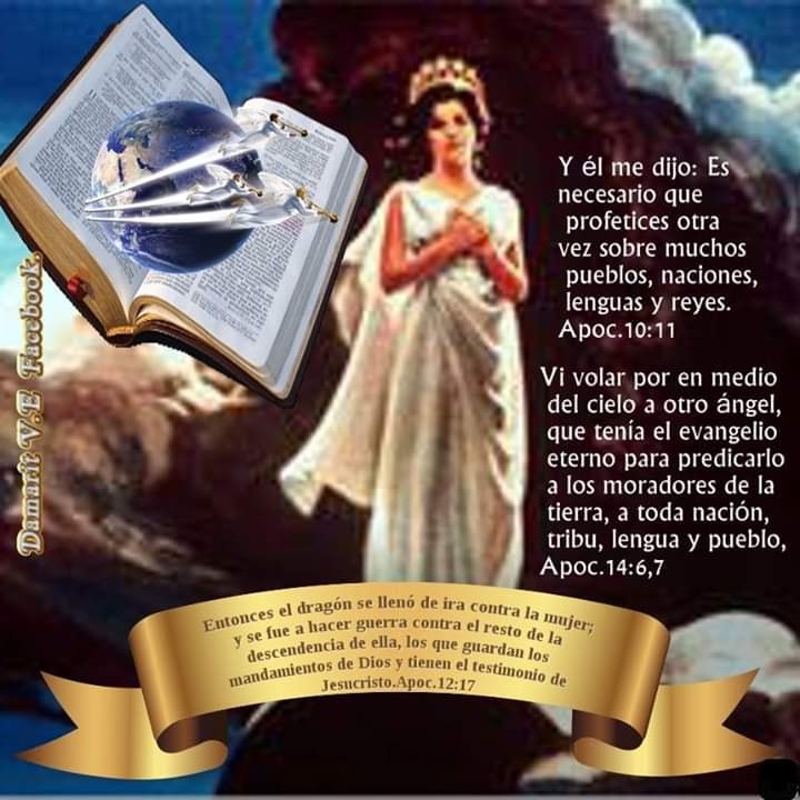
[V.11-> El. Cristo, el “ángel” de los Ap 10:1; Ap 10:9. Es necesario que profetices otra vez. Cf Eze 3:1; Eze 3:4. Aunque el comer el rollo le había producido amargura a Juan, las palabras consoladoras que Cristo dirige al profeta son que ahora debe profetizar nuevamente. A Juan como representante de los creyentes adventistas después del chasco, se le impone la obligación de proclamar un mensaje adicional, más amplio. Aún queda por hacer una gran obra. Deben salir a proclamar el mensaje del tercer ángel de Ap 14:9-12. Sobre. ”Acerca de” o “para”; cualquiera de estos significados concuerda con el contexto. Los mensajes serían “para muchos pueblos...” y “acerca de muchos pueblos”. Muchos pueblos. A medida que los creyentes adventistas comprendían el pleno significado del mensaje del tercer ángel, se dieron cuenta más y más que era un mensaje para el mundo, que tenía que ser llevado a “muchos pueblos, naciones, lenguas y reyes”. Esta convicción ha dado como resultado uno de los programas más extensos de evangelización mundial que haya visto la historia cristiana a medida que los adventistas del séptimo día han proclamado “a toda nación, tribu, lengua y pueblo” (Ap 14:6) el mensaje que les fue dado. ]
Apocalipsis (de Juan) 14-> Ver.
[V.6-> Vi. Comienza una nueva escena. Los acontecimientos representados en esta visión preceden cronológicamente a los que Juan ha descrito en los Ap 14:1-5. Por en medio del cielo. El ángel del Ap 8:13 también apareció volando por en medio del cielo. La extensión de su vuelo indica los alcances mundiales de la obra y el mensaje de este ángel. Su obra crece y se desarrolla hasta que la ve y la oye toda la humanidad. Otro. Gr. állos, otro de la misma clase. Aunque algunos MSS omiten esta palabra, la evidencia textual se inclina por retenerla. Ya han sido mencionados muchos ángeles (Ap 1:1; Ap 1:20; Ap 5:2; Ap 7:1; etc.), de manera que el adjetivo es “otro” no sería totalmente necesario. Ángel. Esta es una visión simbólica. El ángel representa a los siervos de Dios ocupados en la tarea de proclamar el Evangelio eterno, especialmente los asuntos mencionados en este versículo, en un tiempo cuando la hora del “juicio ha llegado” (ver. 7). Por supuesto, también es cierto que ángeles literales ayudan a los hombres en la tarea de proclamar el Evangelio, pero esta no es la idea que predomina aquí. Evangelio. Gr. evaggélion (ver com. Mar 1:1) Eterno. Gr. aiōnios (ver com. Mat 25:41). Las Escrituras hablan en otro lugar del “Evangelio de la gloria” (2Co 4:4; 1Ti 1:11); pero el “evangelio eterno” sólo se usa aquí en relación con el Evangelio de la gracia de Dios, pues no hay sino un solo Evangelio para salvar a la humanidad, el cual continuará hasta que haya gente que salvar. Nunca habrá otro Evangelio igual. Predicarlo. Gr. evaggelízō, “proclamar buenas nuevas”, verbo afín de evaggélion. Compárese con el uso de evaggélion en Rom 1:15; Rom 10:15. Moradores de la tierra. Según lo indican las frases siguientes, aquí se presenta una proclamación mundial del Evangelio. Toda nación. La universalidad de mensajes se destaca con esta frase y las siguientes. ]

|
|
|
 Primer
 Anterior
2 a 3 de 3
Siguiente
 Último

|
|
|

Jordan River (Utah)
From Wikipedia, the free encyclopedia
The Jordan River, in the state of Utah, United States, is a river about 51 miles (82 km) long. Regulated by pumps at its headwaters at Utah Lake, it flows northward through the Salt Lake Valley and empties into the Great Salt Lake. Four of Utah's six largest cities border the river: Salt Lake City, West Valley City, West Jordan, and Sandy. More than a million people live in the Jordan Subbasin, part of the Jordan River watershed that lies within Salt Lake and Utah counties. During the Pleistocene, the area was part of Lake Bonneville.
Members of the Desert Archaic Culture were the earliest known inhabitants of the region; an archaeological site found along the river dates back 3,000 years. Mormon pioneers led by Brigham Young were the first European American settlers, arriving in July 1847 and establishing farms and settlements along the river and its tributaries. The growing population, needing water for drinking, irrigation, and industrial use in an arid climate, dug ditches and canals, built dams, and installed pumps to create a highly regulated river.
Although the Jordan was originally a cold-water fishery with 13 native species, including Bonneville cutthroat trout, it has become a warm-water fishery where the common carp is most abundant. It was heavily polluted for many years by raw sewage, agricultural runoff, and mining wastes. In the 1960s, sewage treatment removed many pollutants. In the 21st century, pollution is further limited by the Clean Water Act, and, in some cases, the Superfund program. Once the home of bighorn sheep and beaver, the contemporary river is frequented by raccoons, red foxes, and domestic pets. It is an important avian resource, as are the Great Salt Lake and Utah Lake, visited by more than 200 bird species.
Big Cottonwood, Little Cottonwood, Red Butte, Mill, Parley's, and City creeks, as well as smaller streams like Willow Creek at Draper, Utah, flow through the sub-basin. The Jordan River Parkway along the river includes natural areas, botanical gardens, golf courses, and a 40-mile (64 km) bicycle and pedestrian trail, completed in 2017.[6]
The Jordan River is Utah Lake's only outflow. It originates at the northern end of the lake between the cities of Lehi and Saratoga Springs. It then meanders north through the north end of Utah Valley for approximately 8 miles (13 km) until it passes through a gorge in the Traverse Mountains, known as the Jordan Narrows. The Utah National Guard base at Camp Williams lies on the western side of the river through much of the Jordan Narrows.[7][8] The Turner Dam, located 41.8 miles (67.3 km) from the river's mouth (or at river mile 41.8) and within the boundaries of the Jordan Narrows, is the first of two dams of the Jordan River. Turner Dam diverts the water to the right or easterly into the East Jordan Canal and to the left or westerly toward the Utah and Salt Lake Canal. Two pumping stations situated next to Turner Dam divert water to the west into the Provo Reservoir Canal, Utah Lake Distribution Canal, and Jacob-Welby Canal. The Provo Reservoir Canal runs north through Salt Lake County, Jacob-Welby runs south through Utah County. The Utah Lake Distribution Canal runs both north and south, eventually leading back into Utah Lake.[9] Outside the narrows, the river reaches the second dam, known as Joint Dam, which is 39.9 miles (64.2 km) from the river's mouth. Joint Dam diverts water to the east for the Jordan and Salt Lake City Canal and to the west for the South Jordan Canal.[10][11][12]

Map of the Salt Lake Valley
The river then flows through the middle of the Salt Lake Valley, initially moving through the city of Bluffdale and then forming the border between the cities of Riverton and Draper.[7] The river then enters the city of South Jordan where it merges with Midas Creek from the west. Upon leaving South Jordan, the river forms the border between the cities of West Jordan on the west and Sandy and Midvale on the east. From the west, Bingham Creek enters West Jordan. Dry Creek, an eastern tributary, combines with the main river in Sandy. The river then forms the border between the cities of Taylorsville and West Valley City on the west and Murray and South Salt Lake on the east. The river flows underneath Interstate 215 in Murray. Little and Big Cottonwood Creeks enter from the east in Murray, 21.7 miles (34.9 km) and 20.6 miles (33.2 km) from the mouth respectively. Mill Creek enters on the east in South Salt Lake, 17.3 miles (27.8 km) from the mouth. The river runs through the middle of Salt Lake City, where the river travels underneath Interstate 80 a mile west of downtown Salt Lake City and again underneath Interstate 215 in the northern portion of Salt Lake City. Interstate 15 parallels the river's eastern flank throughout Salt Lake County. At 16 miles (26 km) from the mouth, the river enters the Surplus Canal channel. The Jordan River physically diverts from the Surplus Canal through four gates and heads north with the Surplus Canal heading northwest. Parley's, Emigration, and Red Butte Creeks converge from the east through an underground pipe, 14.2 miles (22.9 km) from the mouth.[7] City Creek also enters via an underground pipe, 11.5 miles (18.5 km) from the river's mouth. The length of the river and the elevation of its mouth varies year to year depending on the fluctuations of the Great Salt Lake caused by weather conditions. The lake has an average elevation of 4,200 feet (1,300 m) which can deviate by 10 feet (3.0 m).[3] The Jordan River then continues for 9 to 12 miles (14 to 19 km) with Salt Lake County on the west and North Salt Lake and Davis County on the east until it empties into the Great Salt Lake.[7][8][11]
Discharge[edit]
The United States Geological Survey maintains a stream gauge in Salt Lake City that shows annual runoff from the period 1980–2003 is just over 150,000 acre-feet (190,000,000 m3) per year or 100 percent of the total 800,000 acre-feet (990,000,000 m3) of water entering the Jordan River from all sources. The Surplus Canal carries almost 60 percent of the water into the Great Salt Lake, with various irrigation canals responsible for the rest. The amount of water entering the Jordan River from Utah Lake is just over 400,000 acre-feet (490,000,000 m3) per year. Inflow from the 11 largest streams feeding the Jordan River, sewage treatment plants, and groundwater each account for approximately 15 percent of water entering the river.[13]
Watershed[edit]

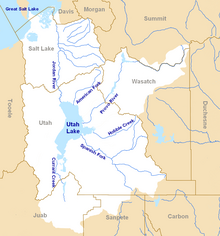
Map of the entire Jordan River Basin
|
|
|
|
|
| |
|
|
©2025 - Gabitos - Todos los derechos reservados | |
|
|

